President Obama announced the designation of Bear Ears National Monument
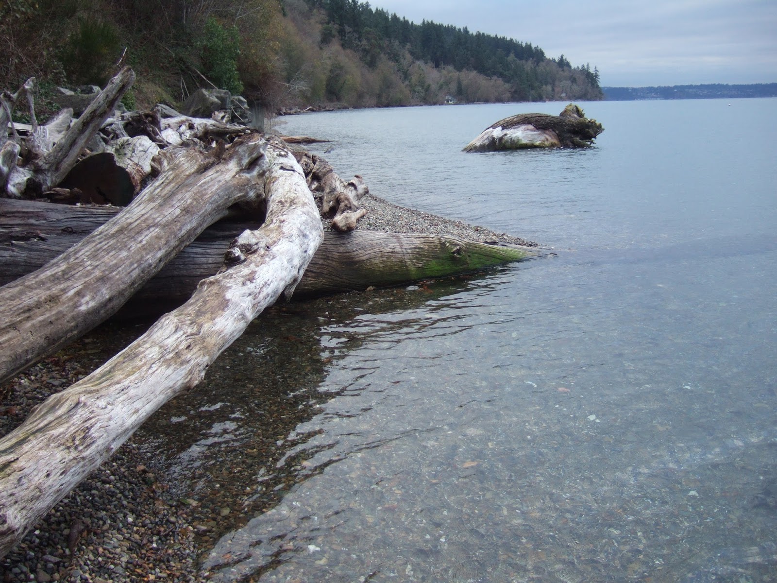
(proclamation-establishment-bears-ears-national-monument). I spent some time in the Bear Ears area last spring as well as on numerous other trips. The area is huge with too many deep canyons to ever fully explore as well as some grand high mountain country that due to the surrounding landscapes is under appreciated.
Not much to do with Washington State perhaps, but I do find the sound bite language fascinating. Below are quotes and press releases regarding the designation. While in Bluff and Mexican Hat last spring I did get a chance to talk with a few folks about the possible monument designation or other ways of managing this large tract of public land. Although a touchy subject between locals, they were comfortable offering their opinions and perspectives to me. Those opinions were surprising nuanced and perhaps had not been well served by the broader national discourse regarding managing public lands.
I should note that the Town of Bluff officially supported the monument designation contrary to the to "We mourn with the people of San Juan County" (see the Matt Anderson quote below). That quote also ignores the support for the monument by decedents of peoples that have lived in what is now San Juan County for thousands of years.
The monument designation by the President uses the Antiquities Act. There area over 100,000 archaeological sites within the monument area, many of which are stone masonry structures. So the large designation can not be said to be not in keeping with preservation of antiquities. Our understanding of the past civilization that farmed and built stone buildings in this area continues to evolve and improve. It is a fascination place to stand next to stone ruins and try to visualize the farming that took place in the valleys below during a period of more favorable climate for agriculture.
Below are press release statements via Salt Lake City Tribune.
Utah Democratic Party Chair Petere Corroon: "We are proud of President Obama for recognizing the need to protect the spectacular natural and historic lands in the Bears Ears area. Utah leaders have deliberated for years regarding how to best preserve Bears Ears. When our GOP leaders failed to find a solution that prioritized protecting these cherished lands while showing respect for indigenous culture and traditions, an executive order became a last resort to preserve this amazing part of Utah's landscape. This designation will only help grow our booming outdoor industry, bring more to Utah's economy, and ensure our children and grandchildren will be able to enjoy Utah's vast and beautiful landscape for many years.
"We need to be good stewards of the land for generations to come, and where our Republican leaders have failed, Utah Democrats are committed to fighting for our public lands."
Utah House Speaker Greg Hughes: "We are truly disappointed that President Obama today chose to use the Antiquities Act to unilaterally declare a 1.35-million-acre Monument in Utah. The Antiquities Act, created by Teddy Roosevelt, was never intended to be used in this way and only the smallest area necessary for the purpose of protecting significant archaeological or historical sites is allowed. Not only is that clearly not the case here, but this administration has had no real conversations with those who will be affected by this designation, let alone any study of what "antiquities" they are attempting to protect.
"Adding to a long list of executive actions that threaten the sovereignty of the states and the citizens of this nation to chart their own course, our president has chosen to once again subvert the will of the people. Earlier this month, nearly all elected officials who represent the area, from local to federal, assembled at the Utah State Capitol to plead with President Obama to resist the temptation to grant these types of political favors. This action betrays the interests of Utahns, stands in the way of better stewardship of the land we all love and cherish and ultimately amounts to a blatant federal land grab.
"Our democratic republic is designed to be most effective and accountable when major decisions are made closest to the people but President Obama has chosen to circumvent all democratic processes and lock up nearly one and a half million acres of land from use based solely on ideological principles.
"Nearly 70 percent of Utah is under federal management and control and 90 percent of our population lives on just 1 percent of our ground. Nothing about this is even remotely reasonable, and that is why we in the Utah Legislature have been pushing back for decades. This designation makes that effort even more important and we will do everything within our power to seek to overturn this action once President Obama leaves office next month."
Matt Anderson, policy analyst, Sutherland Institute: "We mourn with the people of San Juan County. We're very sad and feel terrible that special interests and corporate interests were put above people's lives...It's just very disappointing and we hope that not only will the incoming president undo the national monument designation, but that the Antiquities Act which allows this type of abuse to occur will also be amended and that local voices will, in the future, be heard in how our public lands are managed...This was not a compromise. The Antiquities Act and the heavy hand of a president are what made this occur...This was just a president with a phone and a pen making unilateral decisions and not listening to local interests. There was no compromise here...It really shows how undemocratic the process is. It's sad that we can't come to collaborative and democratic solutions. A working man's home should never come at the expense of a rich man's playground."
Democratic Rep. Joel Briscoe, Salt Lake City: "This monument speaks to our core knowledge that this beautiful land was given to us to care for, learn from, and grow. Proposals to protect these sacred lands have been on the drawing board for 80 years. For decades, presidents, governors, state and local leaders have studied the best ways to protect these special places. We cannot ignore the deeply spiritual aspects of this land, its meaning to those who use it and love it, and its immeasurable worth to people now, and in the future. A monument like this is so much greater than all of us, than any political squabble. Creating the Bears Ears National Monument is the right thing to do, for Utah, for our country, and for our future."
Chris Saeger, executive director of the Western Values Project: "We applaud the President for leading where Congress refused to act. Despite imminent threats to the Bears Ears, politicians like Congressman Rob Bishop sat on their hands for years without proposing a serious alternative. If they're disappointed in today's announcement, they only have themselves to blame."
Utah Senate Majority Leadership: "Today, we stand with the people of San Juan County and condemn President Obama's 'midnight monument' designation in southern Utah. Despite the recent election that was a clear referendum on his misuse of power, this president continues to arrogantly abuse the executive authority. With a stroke of his pen in Washington D.C., President Obama ignored the voices of the people of San Juan County and every elected official chosen to represent the Bears Ears area.
"We will support every effort to reverse this devastating unilateral action and implement polices to locally protect the sacred Bears Ears area without hurting the hard-working citizens of rural Utah."
Patagonia CEO Rose Marcario: "In protecting Bears Ears, the president recognizes the leadership and historic vision of the Bears Ears Inter-Tribal Coalition representing five tribes, and the strong grassroots support from climbers and conservation groups. We are witnessing the power of community activism, and we thank President Obama for listening and taking action."
Utah Attorney General Sean Reyes: "It is extremely disappointing that President Obama has declared another national monument here in Utah, ignoring the voices of so many in our state, particularly those closest to the designated space. By significantly restricting access to a large portion of public lands in Utah, the President weakens land management capabilities and fails to protect those the Antiquities Act intended to benefit.
"The Antiquities Act was passed to protect archaeological sites from pillage by treasure hunters with narrow, focused designations of thousands of acres or only what was absolutely necessary. It has turned into a tool for the Executive Branch to bypass proper Congressional authority, to designate millions of acres at a time and far beyond what is necessary to preserve sacred sites.
"Rather than shut out local residents, the Administration should look for ways to strengthen schools, pave roads, and build the local economy. Instead, it rides roughshod over repeatedly expressed local concerns and exceeds the law's scope as intended by Congress when it passed the Antiquities Act over a century ago.
"My office is working closely with the Governor's office, federal and state legislators, and San Juan County to file a lawsuit challenging this egregious overreach by the Obama Administration. This case is different from other past challenges by states and counties and we are confident in our chances of success. But the courtroom is not our only option. Our federal delegation is working hard to defund the designation or rescind it altogether. Additionally, we look forward to working with the new Presidential Administration on ways to curtail or otherwise address the designation.
"Utah's public lands deserve stewardship, but through the appropriate avenue of Congressional action with real participation of state, local and tribal leaders."
Utah State Senate Minority Caucus: "Today, after years of discussion and input from state officials and tribal leaders, President Barack Obama has declared a national monument protecting the Bears Ears region of Southern Utah. We applaud the President's action today and are grateful that these incredible
vistas and irreplaceable cultural and historic sites will be protected for generations to come.
"We offer our gratitude to the tribal leaders who have never given up their fight for the preservation of their cultural heritage and sacred lands."
Scott Groene, Southern Utah Wilderness Alliance executive director: "We applaud the President's decision and congratulate the Bears Ears Inter-Tribal Coalition for this historic protection of their ancestral homeland. The Monument will long benefit Utahans and Americans. It is the product of years of public discussion where all agreed this landscape is worthy of permanent protection.
"We urge the Utah congressional delegation to show leadership in coming down on the right side of history, by respecting the Tribes and supporting the Monument. Twenty years of history has shown that the fury and fight against the Grand Staircase National Monument accomplished nothing other than perpetuating animosity among Utahns. We should not repeat that mistake.
"Instead we should work together for legislation trading school trust lands within the monument for other lands that will benefit our schoolchildren. And with the universal agreement that the region's extraordinary cultural resources deserve protection, we ask the delegation to ensure adequate funding for monument management.
"This is an important measure for land conservation and for making amends for our Nation and State's horrific historic treatment of Native Americans. We celebrate this step forward."
San Juan County Commissioners (Phil Lyman, Bruce Aams, Rebecca Benally): "Today San Juan County mourns after President Barack Obama gave into pressure from extreme environmental groups, out-of-state tribal leaders, and corporate interests by designating the 1.35 million-acre Bears Ears National Monument.
"The push for a monument did not originate from those most impacted by this decision; instead, it came from outside special interest groups who used deception and collusion to drown out local voices. San Juan County has only to look to our neighbors in Garfield and Kane counties to see the devastating consequences this process produces – the destruction of archaeological and cultural resources, the closure of public schools, and a shattered economy.
"Our families, our local tribes, and our community deserve better – they deserve to be heard and respected. As elected representatives of San Juan County, we call on Congress and the incoming president to heed the voices of locals who care for and love our county's public lands the most by rescinding this monument designation."
Theresa Pierno, president and CEO of the National Parks Conservation Association: "NPCA commends President Obama for his action, which provides landscape-level protection and pays tribute to our country's diversity and rich history," said Theresa Pierno, President and CEO of NPCA. "Designation of Bears Ears National Monument, adjacent to Canyonlands and other beloved national park sites, underscores the significance of the landscape and honors the Native Americans who have long-called for preservation of their cultural heritage."
Secretary of the Interior Sally Jewell: "The rock art, ancient dwellings, and ceremonial sites concealed within these breathtaking landscapes help tell the story of people who have stewarded these lands for hundreds of generations. Today's action builds on an extraordinary effort from tribes, local communities, and members of Congress to ensure that these treasures are protected for generations to come, so that tribes may continue to use and care for these lands, and all may have an opportunity to enjoy their beauty and learn from their rich cultural history."
U.S. Agriculture Secretary Tom Vilsack: "Utahns of all creeds are rightfully proud of the spectacular Bears Ears landscape, treasuring the opportunity to recreate, hunt, ranch and engage in their traditional cultural and spiritual practices. Rather than closing off opportunities to continue those uses, today's announcement is a recognition that those activities can continue, and the natural and cultural resources the communities prize are worthy of permanent protection to be shared with all Americans," said Secretary Vilsack. "As we move forward with planning for monument implementation, the deep knowledge of the tribal community as well as ranchers, recreationists, archeologists and local community citizens will be heard."
Commission for the Stewardship of Public Lands (Utah Republican Reps. Keven Stratton, Mel Brown, Ken Ivory and Mike Noel, and Republican Sen. David Hinkins): "Like the unilateral tyranny exercised by the King of England against the American colonies two and a half centuries ago, our President has exercised an unconstitutional unilateral exercise of the Executive power to establish a monument greater in size than a number of the original thirteen states. Our children are the biggest losers and our Federal Executive Branch is well aware that this designation goes against the voice of the American Citizens living within the boarders of the State of Utah and an overwhelming super majority of those elected to represent them. This Bears Ears designation will not survive a constitutional review by our Judicial Branch and we pledge to take and support every lawful action available under the rule of law to overturn this act of repulsive political cronyism."
Rhea Suh, president of the Natural Resources Defense Council: "It's hard to describe the sheer vastness and majesty this protects.
"In preserving the iconic Bears Ears, President Obama has made conservation history. These lands will now be safe from mining, drilling and other threats. It was the Inter-Tribal Coalition's leadership and vision that made this possible. Native peoples have called this sacred place home for thousands of years. With today's inspired action, they'll have a voice in keeping it safe for thousands more.
"And permanent protections for Gold Butte are long overdue. A monument designation will protect this unique Western landscape and safeguard the thousands of Native American cultural sites and petroglyphs in this region."
Sen. Jim Dabakis, Salt Lake City: "Thank you President Obama for protecting Bears Ears for untold future generations. Thank you Native Americans. This is your land and your victory! Before the deafening outcry from Utah GOP spin, remember, Rob Bishop had every opportunity to make a great deal for Utah with the Administration with the PLI (Public Lands Initiative) sadly he chose the ugly political path. Obama was ready to deal, but the hostile GOP chose defiance in response to President Obama's outstretched hand. Don't like Bears Ears? Blame Utah's GOP leadership. Like Bears Ears? Thank tone deaf Rep. Rob Bishop."
Utah Rep. Mia Love: "By unilaterally designating the Bears Ears area of San Juan County a National Monument, President Obama has undermined the economy and lifestyle of the people who live there, the religious interests of the Native Americans who reside in San Juan County, and ignored local
authority. Again behaving more like a dictator instead of a representative of people, he ignored Utah, which is united in opposition to this action. I join our delegation, state officials and the people of Utah in the pledge to use every tool in our arsenal to undo what he has done, and restore the blessings of freedom he wants so badly to remove from us in his final days."
Utah Sen. Mike Lee: "This arrogant act by a lame duck president will not stand. I will work tirelessly with Congress and the incoming Trump administration to honor the will of the people of Utah and undo this designation."
Utah Rep. Chris Stewart: "The creation of the Bears Ears National Monument marks the second time in the recent past that a president has used the Antiquities Act to lock up millions of acres of land in Utah without daring to set foot in the state. I am disgusted by the process and will fight this monument with every tool at my disposal, including through the appropriations process."
Utah Rep. Jason Chaffetz: "President Obama's unilateral decision to invoke the Antiquities Act in Utah politicizes a long-simmering conflict. This unfortunate act threatens to further inflame controversies that were near resolution. The midnight monument is a slap in the face to the people of Utah, attempting to silence the voices of those who will bear the heavy burden it imposes. Furthermore, the decision is a major break with protocol previously followed by this administration. It does not have the support of the Governor, a single member of the state's Congressional delegation, nor any local elected officials or state legislators who represent the area.
"After years of painstaking negotiations with a diverse coalition, Utah had a comprehensive bipartisan solution on the table that would have protected the Bears Ears and provided a balanced solution. Instead, the president's midnight monument cherry picked provisions of the Public Lands Initiative and disregarded the economic development and multi-use provisions necessary for a balanced compromise. In reality, a win-win solution never really had a chance as the very threat of the Antiquities Act prevented a serious negotiation with the stakeholders of PLI - many of whom never wanted a compromise to begin with.
"Finally, the so-called tribal coalition supporting the monument over the objections of their own Utah members will quickly find they have been misled. The president's promise of co-management between the tribes and the federal government cannot be gained through executive action. Only Congress can authorize such agreements - and the administration made little effort to help facilitate legislation that would have done so.
"We look forward to working with President-elect Trump to follow through on his commitment to repeal midnight regulations. We will work to repeal this top-down decision and replace it with one that garners local support and creates a balanced, win-win solution."
Salt Lake City Rep. Joel Briscoe: "This monument speaks to our core knowledge that this beautiful land was given to us to care for, learn from, and grow. Proposals to protect these sacred lands have been on the drawing board for 80 years. For decades, presidents, governors, state and local leaders have studied the best ways to protect these special places. We cannot ignore the deeply spiritual aspects of this land, its meaning to those who use it and love it, and its immeasurable worth to people now, and in the future. A monument like this is so much greater than all of us, than any political squabble. Creating the Bears Ears National Monument is the right thing to do, for Utah, for our country, and for our future."
David Filfred, Navajo Nation Council Delegate representing Aneth, Teec Nos Pos, Red Mesa and Mexican Water Chapters in Utah: "We are grateful for President Obama's brave action today," said David Filfred, Navajo Nation Council Delegate representing Aneth, Teec Nos Pos, Red Mesa and Mexican Water Chapters in Utah. "For the first time in history, a president has used the Antiquities Act to honor the request of Tribal Nations to protect our sacred sites. In doing so, he has given the opportunity for all Americans to come together and heal."
Alfred Lomahquahu, Vice Chairman of Hopi Tribe and Co-Chair of the Bears Ears Inter-Tribal Coalition: "As a coalition of five sovereign Native American Tribes in the region, we are confident that today's announcement of collaborative management will protect a cultural landscape that we have known since time immemorial. Our connection with this land is deeply tied to our identities, traditional knowledge, histories, and cultures. We look forward to working with the current and future administrations to fully and properly administer these lands for all to enjoy."