I was up on the west edge and slopes of the Waterville Plateau above the Columbia River across from Chelan. Some of the biggest fires this summer were around Lake Chelan. I have heard mixed reports of the fires around McNeil Canyon Road as they took place while the Chelan fires were at their worst. There were reports of lightning caused fires at McNeil Canyon and reports of embers from the Chelan fire blowing across the river and setting fires on the east side of the Columbia. This later was widely reported for an area north of McNeil Canyon.

Burned range land looking north.
Black ridge on the left horizon was part of the massive Chelan Complex Fire

Most of the trees survived this burned area
The foreground was open range land
Wheat fields, now plowed are located across the road

Burned slope on upper McNeil Canyon

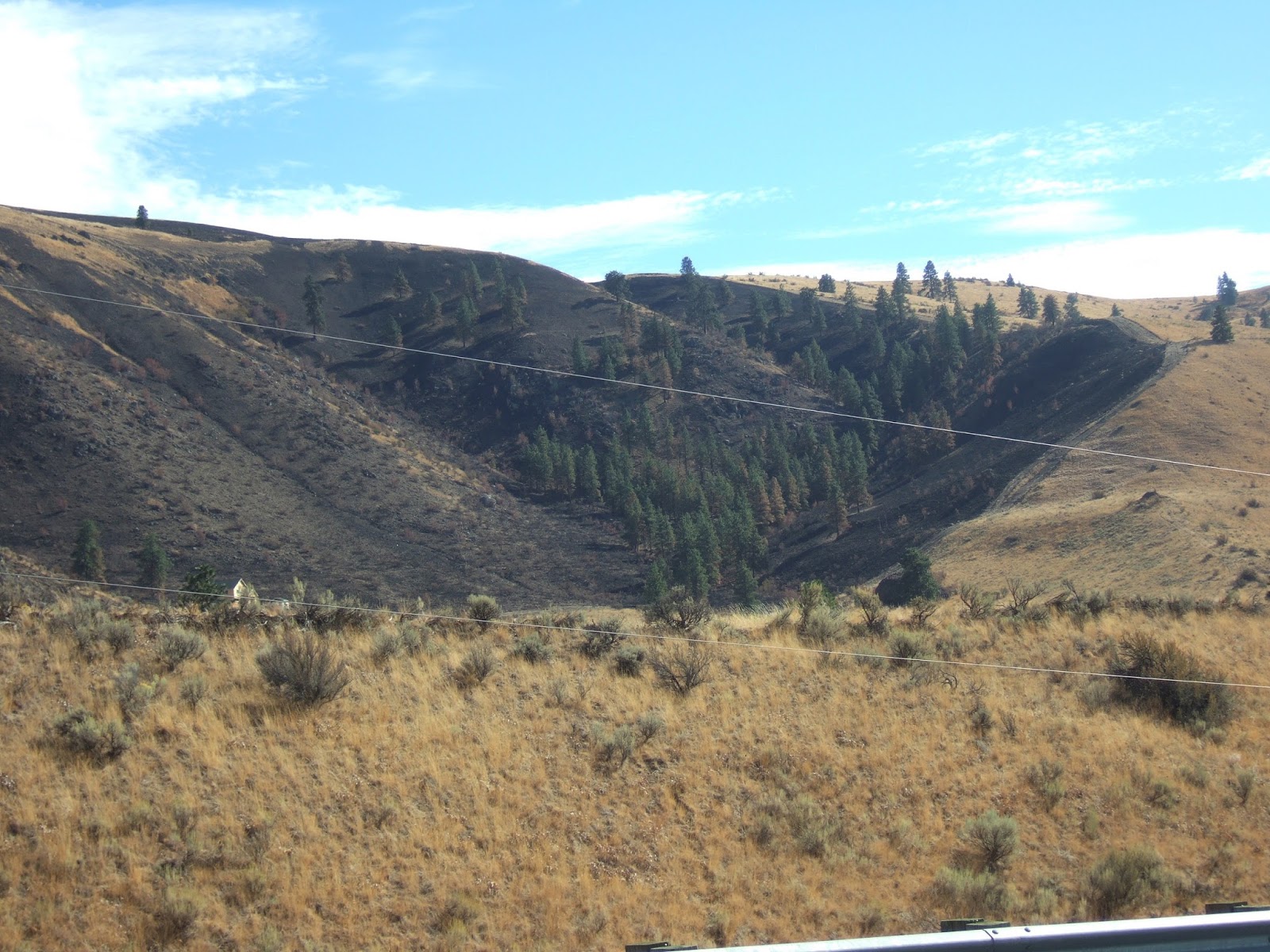
Riparian area in canyon was fully burned

View down McNeil Canyon to the west with McNeil Canyon Road on right

Open range land with widely spaced trees
Given the appearance of the trees the fire burned very hot and high when it reached this tree area
Note the hint of green on the slope from new grass

Grass has already sprouted from early fall/late summer rain

Mixed results for these trees with some surviving and others not

Close call for this home
Note fire retardant slurry (red area) behind home
South edge of burn appears to be checked by a plowed track.
Trees suggest the fire was burning mild in this area
All in all a mosaic type burn with trees killed in some areas, thinned in others. Mostly dependent on heat and wind at the time the fire passed through areas. The pattern of burning makes it clear why the area looks the way it does. A mix of open forest, brush and range land.


No comments:
Post a Comment